 GeoData.NZ
relief shading
Type of resources
Keywords
Contact for the resource
Provided by
Update frequencies
Scale
-
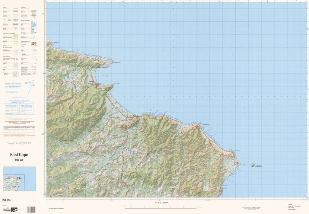
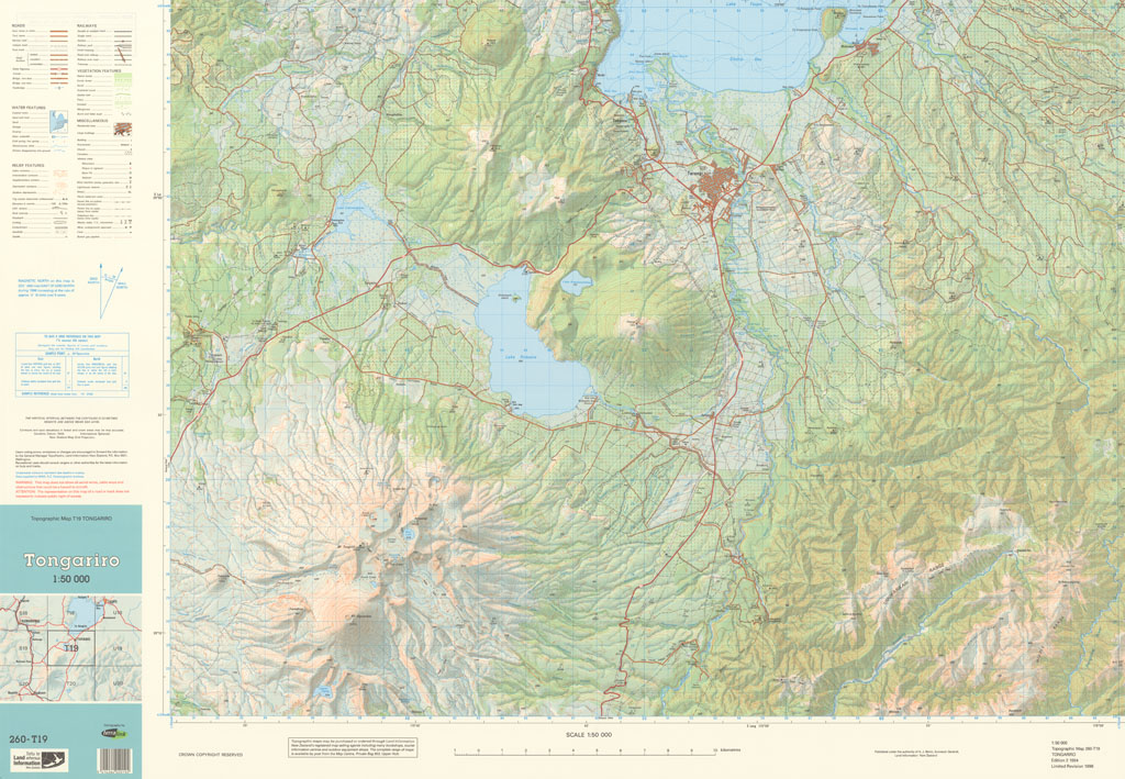
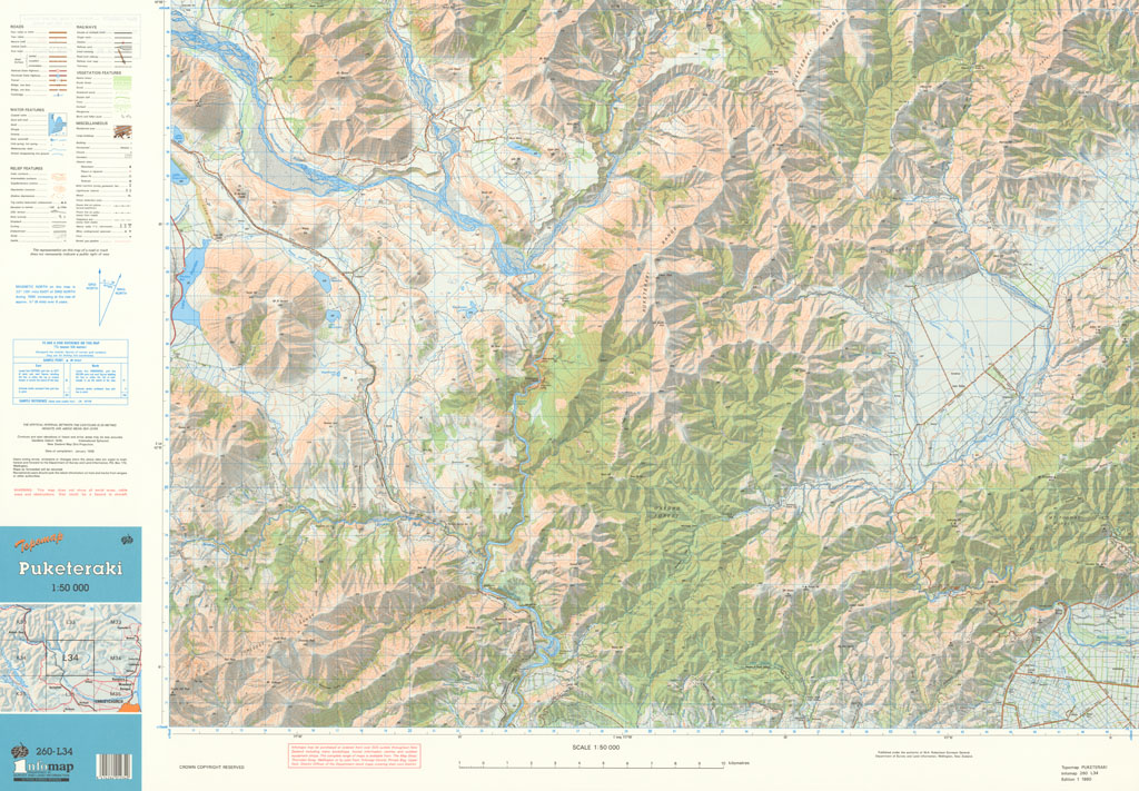
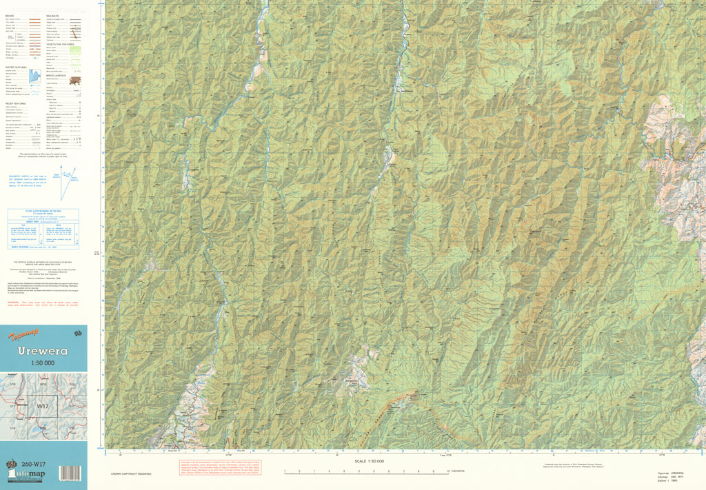
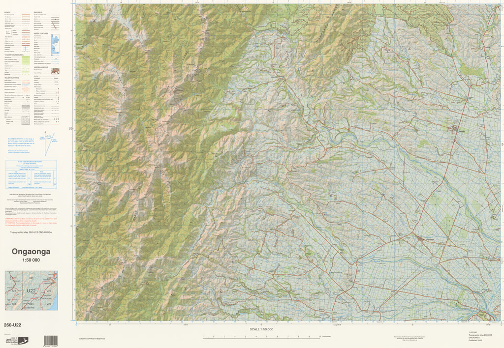
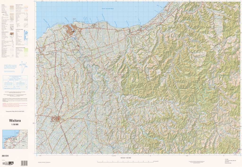
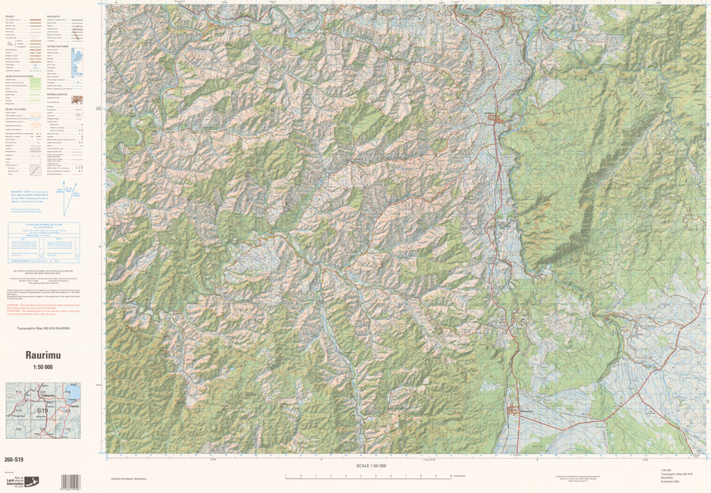
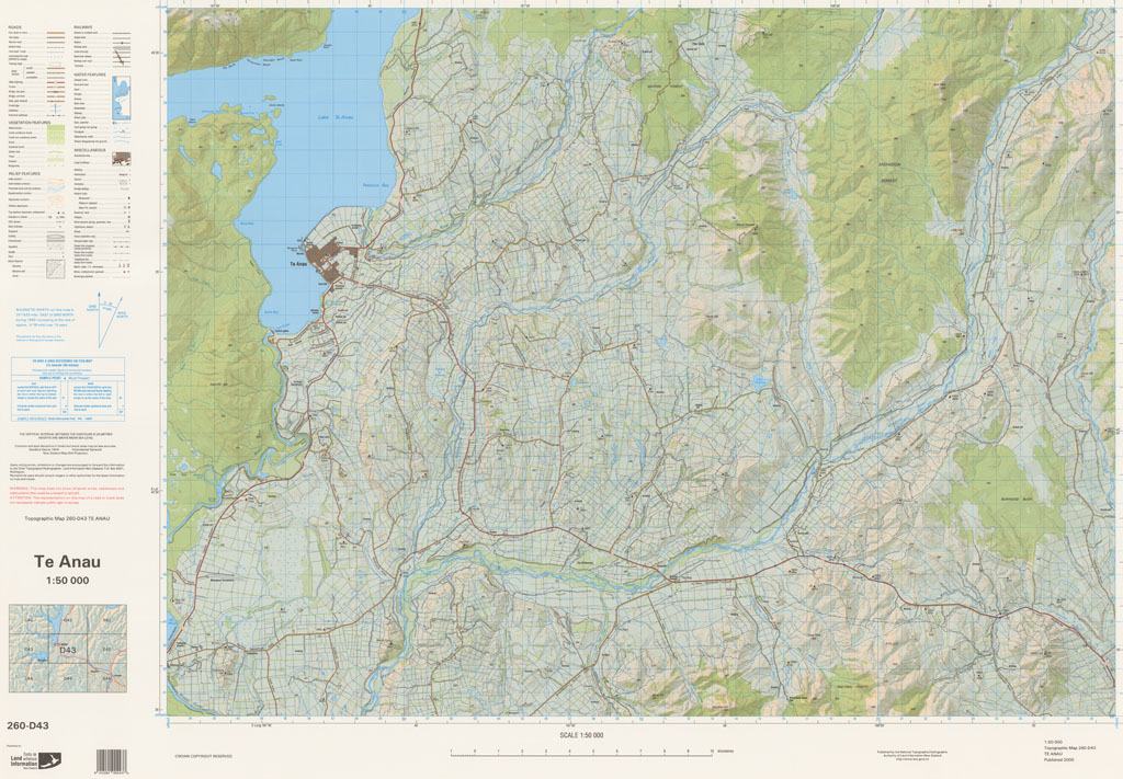
The NZMS 260 series provides topographical information for the New Zealand mainland, Chatham Islands and Auckland Islands at the 1:50,000 scale. Full coverage of the country was achieved. The series was published between 1977 and 2007. It was superseded by NZTopo50 (New Zealand mainland and Chatham Islands) and NZOITopo50 (Auckland Islands).
-
The NZMS 260 series provides topographical information for the New Zealand mainland, Chatham Islands and Auckland Islands at the 1:50,000 scale. Full coverage of the country was achieved. The series was published between 1977 and 2007. It was superseded by NZTopo50 (New Zealand mainland and Chatham Islands) and NZOITopo50 (Auckland Islands).